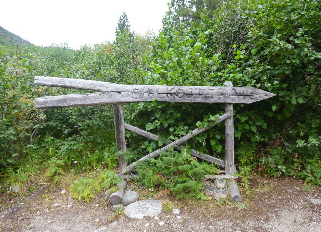
HIKING THE CHILKOOT TRAIL
Spanning 53 kilometers/33 miles, two countries, and centuries of history, the Chilkoot Trail offers a hike to remember.
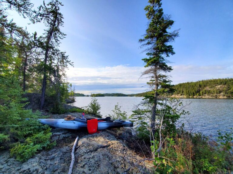
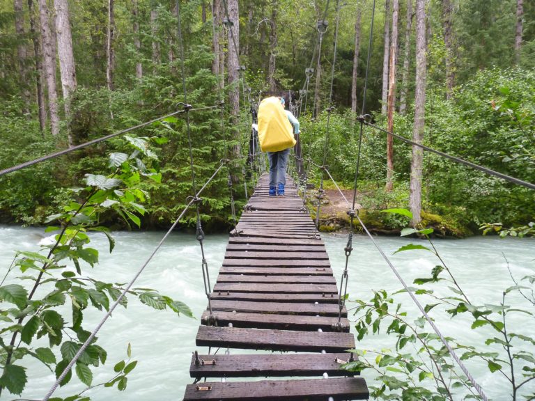
Imagine yourself following a winding path through thick undergrowth while giant trees tower overhead; dodging bear scat with mud-caked boots; ascending through mystical fog that chills you to the bone; and falling asleep beside a calm lake while loons send out their haunting calls.
This post may include affiliate links. As an Amazon Associate I earn from qualifying purchases. Find more info in my privacy policy.
This is the Chilkoot Trail.
Overview of the Chilkoot Trail
Originally used as one of many trade routes by the Tlinget people, the Chilkoot’s current claim-to-historical-fame is the central role it played in the Klondike Gold Rush of the 1890s.
Gold was first discovered near Dawson City in 1896. Word spread and by 1897, prospectors were rushing to the area to get in on the boom. For the route that included the Chilkoot Trail, the entire trip consisted of taking a ship from Seattle, Washington to Skagway or Dyea, Alaska; travelling overland from Dyea to either Lindeman or Bennett Lakes in British Columbia, Canada; and then building a raft or boat to continue the 800 km/500 miles or so to Dawson City, Yukon. All of this was done carrying the one ton of food and supplies that the Canadian Mounties required people to have, in an effort to prevent the often inexperienced and unprepared prospectors from starving to death.
It was no easy feat.
Over the course of the Gold Rush (1896-1899), around 100,000 people would set out in hopes of striking gold. Of those, around 30,000 people made their way via the Chilkoot pass. When it was all said and done, only a fraction made it as far as Dawson and only a few hundred became rich.
Today, you can retrace the footsteps of the Stampeders by hiking the Chilkoot Trail from Dyea to Bennett Lake. It’s referred to as the world’s longest museum, as artifacts and relics from the Gold Rush days remain scattered along the trail. Everything from shoes to woodstoves to telegraph cables can be seen as you make your way through forests, along rivers, over the pass (also the U.S./Canada border), and across alpine tundra.
It’s a spectacular and challenging hike that should be on the radar of any backcountry buff or wilderness lover.
Must-Know Chilkoot Trail Details
Total Distance: 33 miles (53 km) from Dyea, Alaska to Lake Bennett, British Columbia
Time Required: 3-5 days; though some choose to stretch it out to 7, while others trail run it in a single day
Difficulty Level: moderate; recommended for hikers with previous backpacking experience and who are physically fit. See “The Golden Stairs and Chilkoot Pass” section below for more on the most difficult section of the trail.
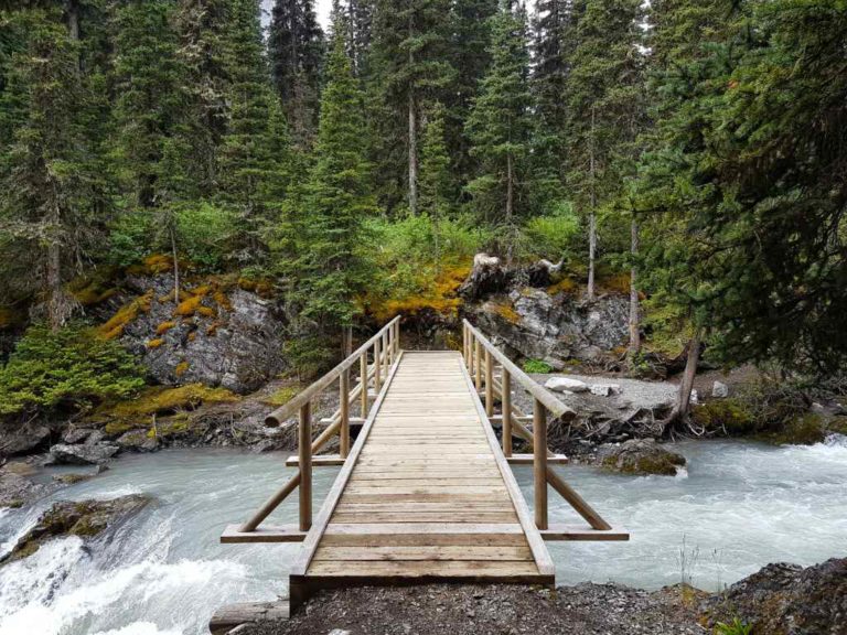
Terrain and Climate: the Chilkoot Trail begins in lush coastal rain forest and follows the banks of the Taiya River until Sheep Camp. From there, the trail leads up and over the rocky and rugged Chilkoot Pass and into Canada where it snakes its way through alpine tundra and Boreal forest, skirting numerous lakes along the way. Expect a bit of everything including: mud, packed dirt, uneven rocks and roots, loose shale, and large slippery boulders. The Chilkoot truly has it all!
Weather on the Canadian side is often drier than prior to the Pass, but can be unexpected and change quickly at any point on the trail. Be prepared for everything from high temperatures and sunshine to near-freezing rain, high winds, and snow (even in mid-summer).
When to Go: the trail is co-managed by Parks Canada and the U.S. National Parks Service who’s staff patrols the trail, marks a route over the pass, and issues permits from June to September. July and August are the busiest months on the trail. Avalanche warnings are often in effect until mid-July. Nighttime temperatures begin to drop later in the hiking season.
Cost and Reservations: permits are required and include camping fees. They are usually around $60 CAD per adult and $30 for youth. Parks Canada handles reservations for the Chilkoot and it is recommended to book your dates ahead of time as the number of permits issued per day is limited.
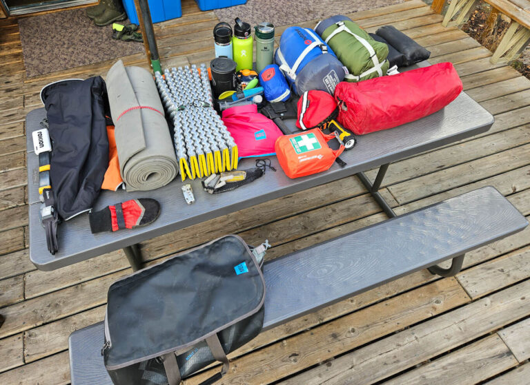
Campgrounds and Backcountry Amenities: hikers are required to camp in designated backcountry campsites that are chosen prior to heading out on the trail. Most of the campgrounds provide wooden tent platforms, outhouses, a warm-up shelter, and a water source (lake, stream, or river water that needs to be treated).
These are remote, backcountry sites with no modern services (like electricity or potable water). Hikers must bring all the necessary gear and provisions and pack out any and all garbage.
The Golden Stairs and Chilkoot Pass
If you’ve looked into hiking the Chilkoot Trail, you’ve likely heard about the Golden Staircase. This is a section of the trail, just prior to the Chilkoot Pass, where 1000 feet of elevation is gained over only half a mile. During the Gold Rush, prospectors cut “stairs” into the packed snow of the steep terrain while attempting to cross the pass in the winter.
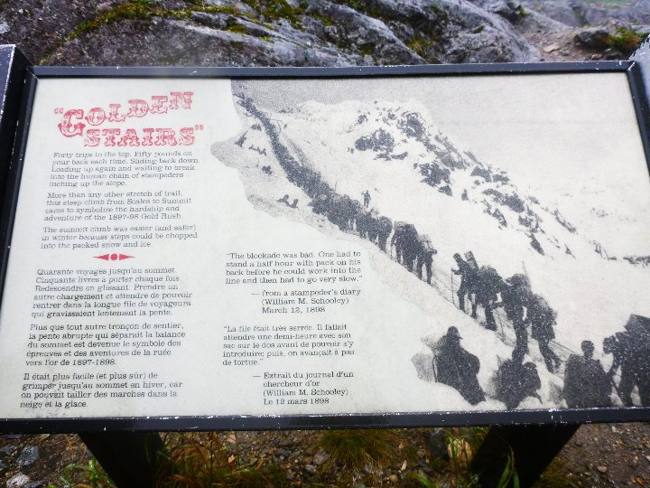
When done in summertime, this section doesn’t so much have stairs, but rather large, uneven boulders that require hikers to use all fours to navigate. Depending on the weather, the rocks can be slippery so careful hand and foot placement is crucial. This is considered by many to be the most difficult section of the trail and scrambling over the steep boulders will test your balance, nerves, and stamina.
The shortest possible distance to do on “pass day” is 7.5 miles (12.1 km) between Sheep Camp and Happy Camp. Don’t let the distance fool you. It often takes hikers 12+ hours to do this section due to the slow progress over the pass.
Chilkoot Trail Resources
I’ve compiled a list of resources for those planning their own hiking adventure. It includes the links I found most useful, information for spending time in Skagway before or after your hike, and tips and tricks for both before your hike and once you’re on the trail. You can find that here: Hiking the Chilkoot Trail: Resources
What’s it Really Like to Hike the Chilkoot?
Each hiker will have a unique experience on the trail that will depend on so many different factors. Weather, physical ability, attitude, how prepared you are, who else you are sharing the trail with…
Some of these things are under your control, many are not.
Mark and I hiked the Chilkoot Trail August 9-13, 2016. We both consider it to be one of the most memorable and rewarding things we’ve done, despite the fact that we faced horrible weather while crossing the pass, had all our gear soaked through, missed out on some of the best views, and faced all kinds of fear and anxiety on the trail (at least, on my part. Mark was fine.).
Below, you will find links to a day-by-day account of what hiking the Chilkoot was like for me. I hope you enjoy reading along!
Beauty and Bear Scat – Day 1 On the Chilkoot Trail
Is Crying Allowed? – Day 2 On the Chilkoot Trail
Facing My Fears – Day 3 On the Chilkoot Trail