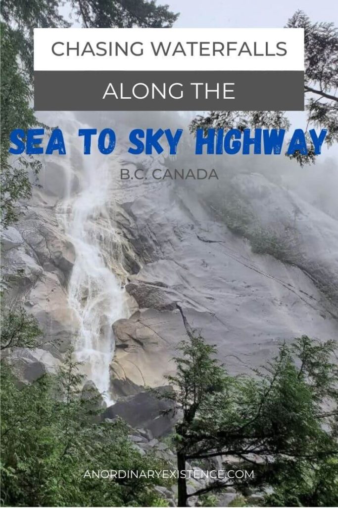
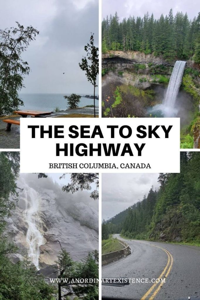
CHASING WATERFALLS ALONG THE SEA TO SKY HIGHWAY
British Columbia’s Sea to Sky Highway runs 163km from Vancouver to Pemberton along Highway 99. It offers up brilliant coastal views over Howe Sound before snaking its way through the high mountain peaks. It’s long been on my must-do road trip list, so I knew I had to include at least part of it on our last visit out west.
There are plenty of options for stops along the Sea to Sky Highway to camp out, hike a trail, learn from a cultural interpretation kiosk, or have a picnic lunch.
This post may include affiliate links. As an Amazon Associate I earn from qualifying purchases. Find more info in my privacy policy.
I was on a personal mission to see some waterfalls.
Perhaps it’s because, as a flatlander, I don’t get to see a good cascade very often, but I feel there is just something special about the rushing water and deep roar of high falls.
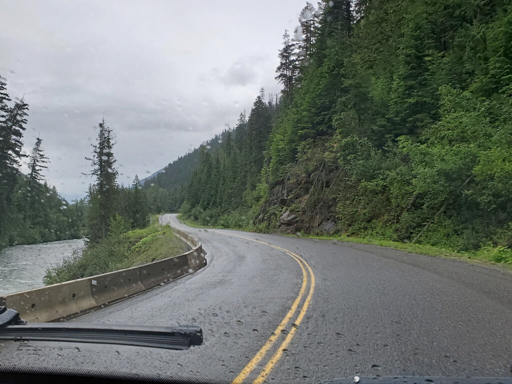
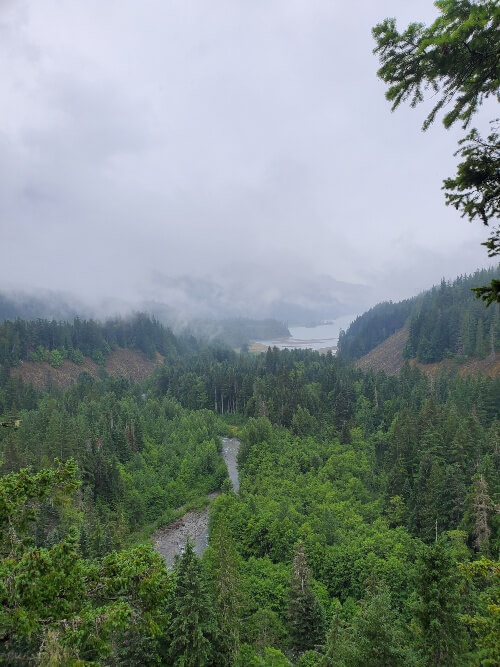
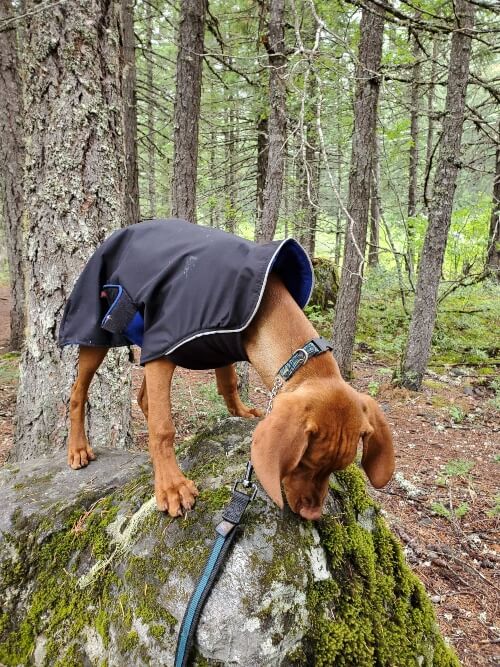
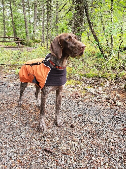
Unfortunately for us, it rained nearly the entire day that we travelled the Sea to Sky. The low clouds robbed us of stunning views I’d so often seen in tourism brochures, and we (and the dogs!) were dripping wet each time we returned to the van. But we made the best of it by donning our raincoats and stopping to take in some of the many spectacular waterfalls that line the route.
Here’s where we stopped along the Sea to Sky Highway:
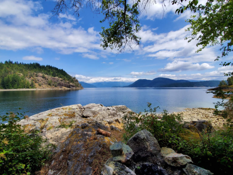
PORTEAU COVE
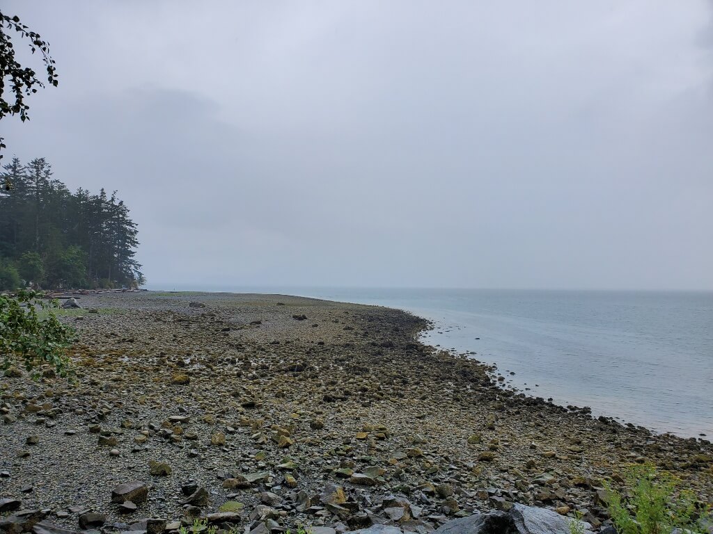
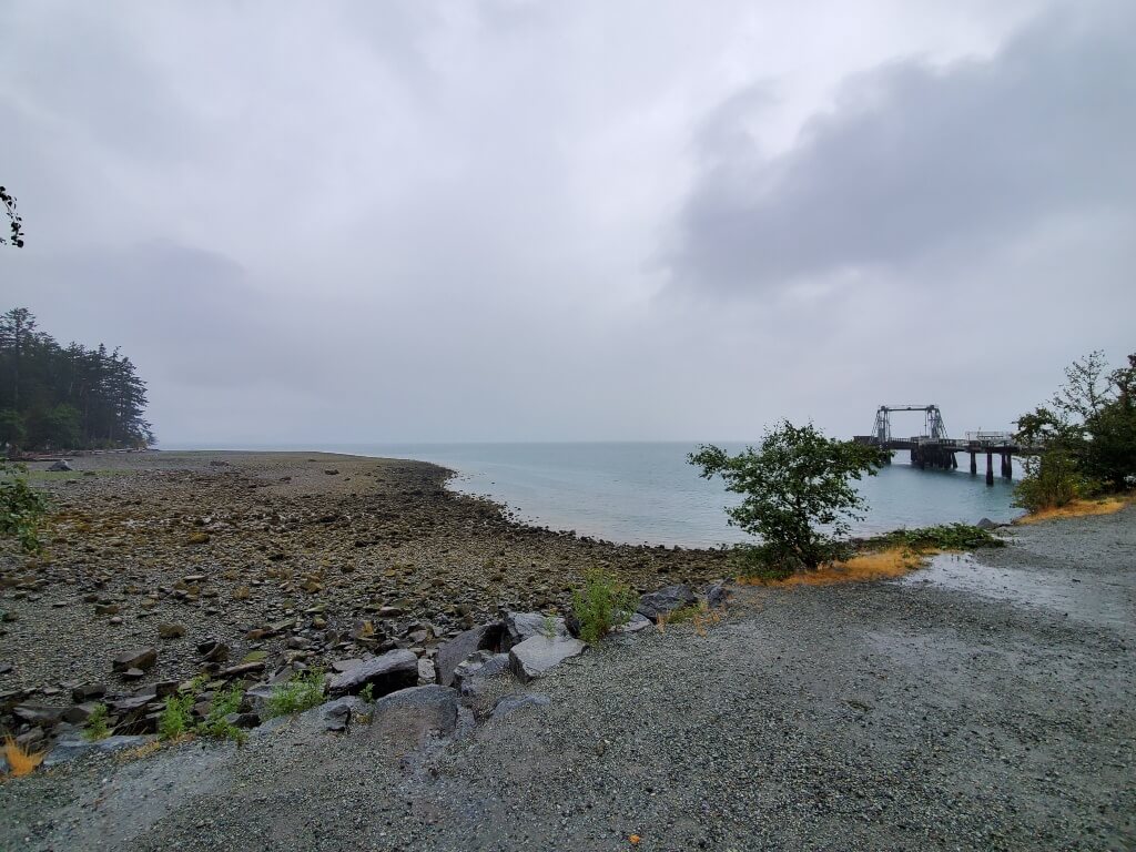
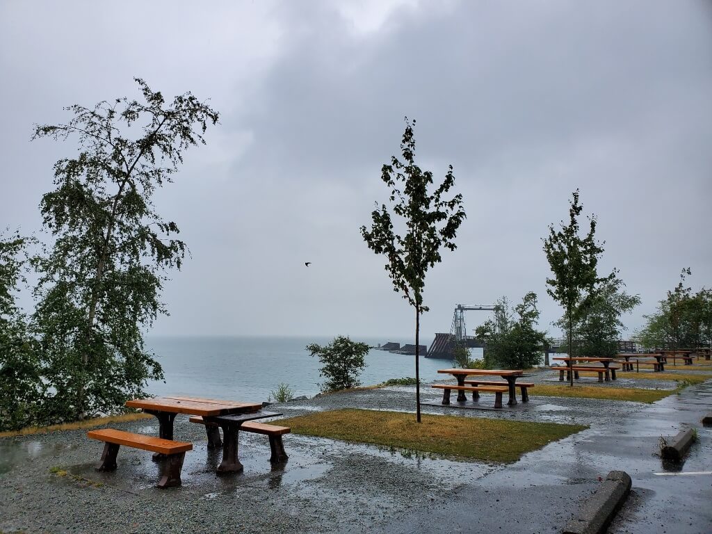
Porteau Cove is not a waterfall but was our first stop along the route. Having just come off our Saltery Bay Loop backpacking trip the day before, we crossed over from the Sunshine Coast via ferry late in the morning. Which meant we started our Sea to Sky drive at the Horseshoe Bay ferry terminal rather than from the terminus in Vancouver. Porteau Cove Provincial Park is only 25 km north of the Horseshoe Bay terminal and seemed like the right place for a pit stop and a chance to stretch our legs post ferry ride.
As you can see from the photos, the clouds hindered our views over Howe Sound, and it was raining quite heavily. This stop was short and sweet, but I can see the appeal of this spot on a clear day. Porteau Cove Provincial Park offers waterfront campsites and diving facilities for those looking to take in the sunken ship marine habitat.
SHANNON FALLS
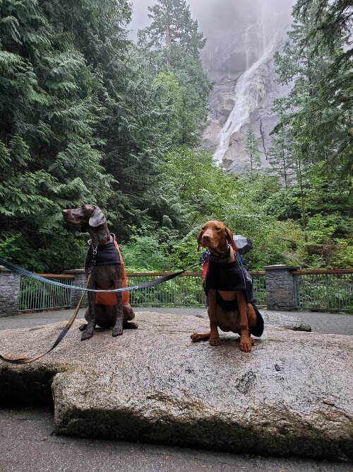
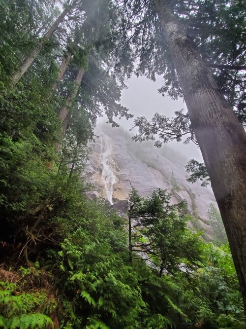
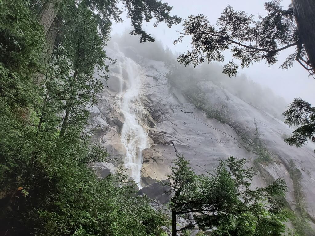
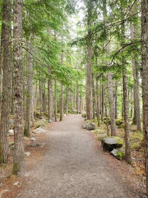
A quick 15 km drive further north on the Sea to Sky Highway took us to Shannon Falls Provincial Park, where we suited up and made the short trek to see the waterfall. The hike to the fall is only about 350 metres along a wide gravel trail. Multiple viewpoints give visitors various perspectives of Shannon Falls, which happens to be the 3rd highest falls in British Columbia at 335 metres. As this was in July, the flow rate was down a bit, but the falls were a magnificent sight regardless.
The mist and fog of the day only added to the ambience.
Shannon Falls Provincial Park is located just off of Highway 99 and is easily accessible. There is a parking lot, a store, washrooms, and a picnic area at this popular day-use stop. Hikers looking for more of a challenge can access the Stawamus Chief from Shannon Falls via a 6.4 km connector trail.
BRANDYWINE FALLS
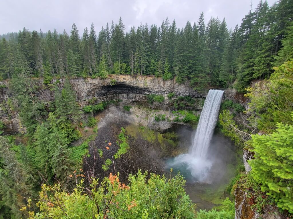
The rain had let up slightly once we made the 45 km drive from Shannon Falls to Brandywine Falls. The drier weather meant the 10-minute hike to the viewing platform was that much more enjoyable. The trail here is another flat, wide, easy walk. The viewing platform provides views of the 70-metre-high falls, and out over Daisy Lake in the opposite direction.
Brandywine Falls Provincial Park is another easily accessible stop right along the Sea to Sky Highway, just 11 km south of Whistler. The park offers washrooms, a picnic area, and other hiking and mountain biking trails for visitors.
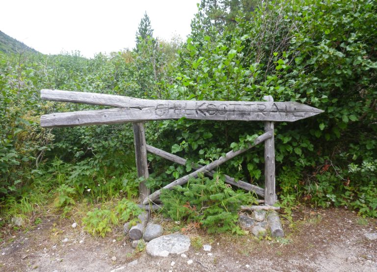
NAIRN FALLS
Narin Falls lies near the northern end of the Sea to Sky Highway and just 5 minutes from the town of Pemberton. It was the final waterfall on my list for the day.
Unfortunately, I chickened out of making the 1.5 km hike to the falls and never got to see them.
The trail follows the top of a high, steep gorge along the Green River. Gus being the curious puppy he was, kept pulling me to the edge to see what it was all about. That, along with my fear of heights and a bad case of vertigo, meant I made the call early to turn back. I’ll have to try this one again next time we’re in the area.
Nair Falls Provincial Park has campsites, a picnic area, and a parking lot. It is located about 28 km north of Whistler.
There were plenty of other stops we could have made along the Sea to Sky Highway. But, since we got a relatively late start due to ferry schedules, had another 67 km to go past Pemberton to reach our destination for the night, and were fighting the weather, we kept our stops to just a few of the quick and easily accessible ones. I’m sure you could drive this highway a thousand times and not see everything, so this just gives us more reason to return one day.
Have you driven the Sea to Sky Highway? What was your favourite stop?
More resources for exploring the Sea to Sky Highway:
Sea to Sky Parks | Hello BC | Happiest Outdoors | Ordinary Traveler
We explored the Sea to Sky Highway back in July 2019 as part of our 4000+km road trip across Western Canada. Since I’m notoriously bad at writing in real-time, I’m just posting this now. In 2021. Someday I will learn to write as we go…